A 2.0-Magnitude Earthquake Strikes Near Ocotillo Wells, California, on July 5, 2026
A gentle tremor rattled the San Diego County area near Ocotillo Wells at 12:50 a.m. Sunday, July 5, 2026, according to the U.S. Geological Survey (USGS). The 2.0‑magnitude quake burrowed 6 miles beneath the surface, with its epicenter roughly 8 miles north of the small community.
The shake follows two larger events in the region over the past week. A 3.4‑magnitude quake struck the same general area on July 1, while a 2.5‑magnitude tremor near Borrego Springs was logged on July 3. Together, these quakes illustrate the frequent, low‑energy seismic activity that typifies Southern California.
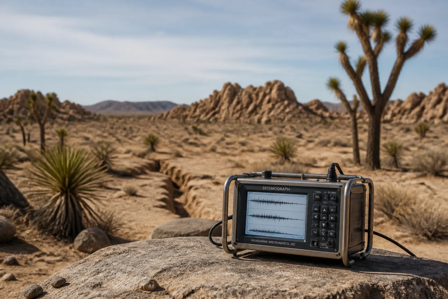
Magnitude, a modern replacement for the older Richter scale, quantifies the energy released by an earthquake. The USGS notes that quakes between 2.5 and 5.4 magnitude are often felt but rarely cause damage, whereas those below 2.5 are seldom perceived by most people. Although the 2.0 quake falls below the typical threshold for widespread feeling, residents in the immediate vicinity may have experienced a brief, subtle shaking.
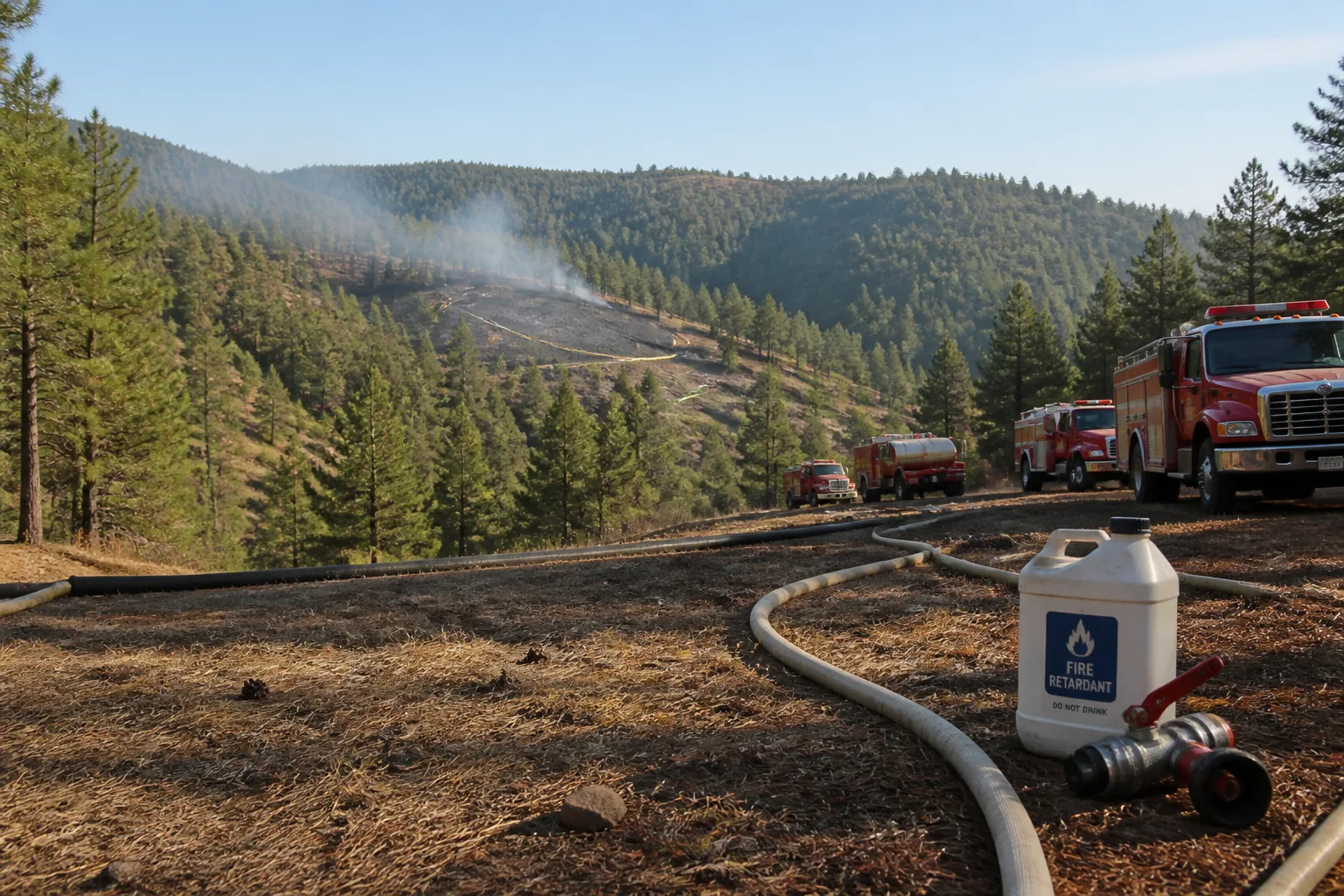
Officials remind the public to act quickly if an earthquake occurs. In a car, pull over and engage the parking brake. In bed, lie face‑down and tuck a pillow over the head. Outdoors, keep a safe distance from buildings and avoid entering structures. Inside, stay put, steer clear of doorways, and follow the “drop, cover, and hold on” protocol. The agency advises, “Wherever you are, drop down to your hands and knees and hold onto something sturdy,” and adds, “If you’re using a wheelchair or walker with a seat, make sure your wheels are locked and remain seated until the shaking stops.” After the shaking, be prepared for aftershocks and potential hazards such as damaged gas or water lines and downed power lines.
The USGS encourages residents who felt the quake to submit a report through its Felt Report form. These reports help refine local shaking intensity models. According to USGS data, roughly 500,000 detectable earthquakes occur worldwide each year, 100,000 of which can be felt, and only about 100 cause damage.
Ocotillo Wells is an unincorporated community in eastern San Diego County, located 3 miles west of the Imperial County line on State Route 78. The area sits at an elevation of 163 feet and carries the ZIP code 92004. Nearby Borrego Springs, a census‑designated place with a 2020 population of 3,073, is surrounded by the Anza‑Borrego Desert State Park.
California sits on the San Andreas Fault system, one of the world’s most seismically active zones. The USGS monitors seismic activity across the state, and its real‑time data feeds are used by local emergency agencies and the public.
At the time of writing, no damage has been reported from the 2.0‑magnitude quake, and there are no immediate aftershocks. Residents are advised to remain alert and to follow the standard safety procedures outlined by officials. The USGS continues to update its seismic catalog as more data become available.
This article was originally published July 5, 2026 at 12:59 a.m. and was generated by the CA Earthquake Bot, a software tool that compiles structured seismic data into news‑style articles.